How to identify and monitor the response of forests near riverbanks to drought: use of aerial thermal imagery and on-field measurements
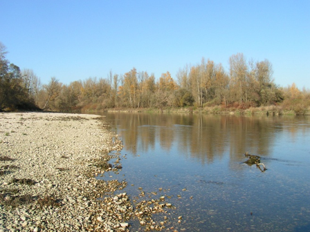
Forests near riverbanks, also known as alluvial forests, are sensitive to drought caused by climate change and worsened by changes in river flow. Being able to find and map this sensitivity is important to understand the effects of climate change and change how we man-age these forests. In this study, we tested if thermal infrared images, measuring tree tempera-ture, taken at different spatial scales could be used to diagnose the health of the forest during drought.
In the summer of 2022, we collected leaves and bark from black poplar trees at two sites with different levels of connection to groundwater along the Ain River in France. These samples were analysed to study the seasonality of water stress and to check whether the stress was visible on the thermal infrared images.